Mount Soledad: The Best Full-Circle Viewpoint in La Jolla
Mount Soledad rises above La Jolla and gives you the single best all-direction panorama in San Diego: ocean, downtown, Mexico on clear days, and the whole curve of the bay. Here is how to time it, how to get there, and what to expect at the top.
Short answer
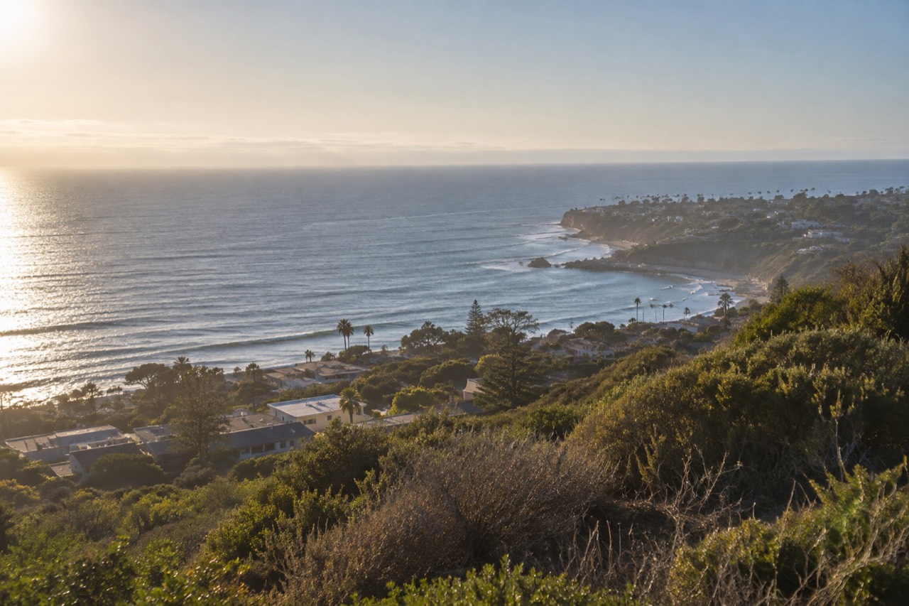
Mount Soledad is a hilltop viewpoint in La Jolla with a full all-direction panorama over San Diego, the coastline, and the ocean. It is free to visit, reachable by car in minutes, and at its best at sunset or in the morning before the marine layer burns off. Most visits last 30 minutes to an hour.
Mount Soledad: The Best Full-Circle Viewpoint in La Jolla
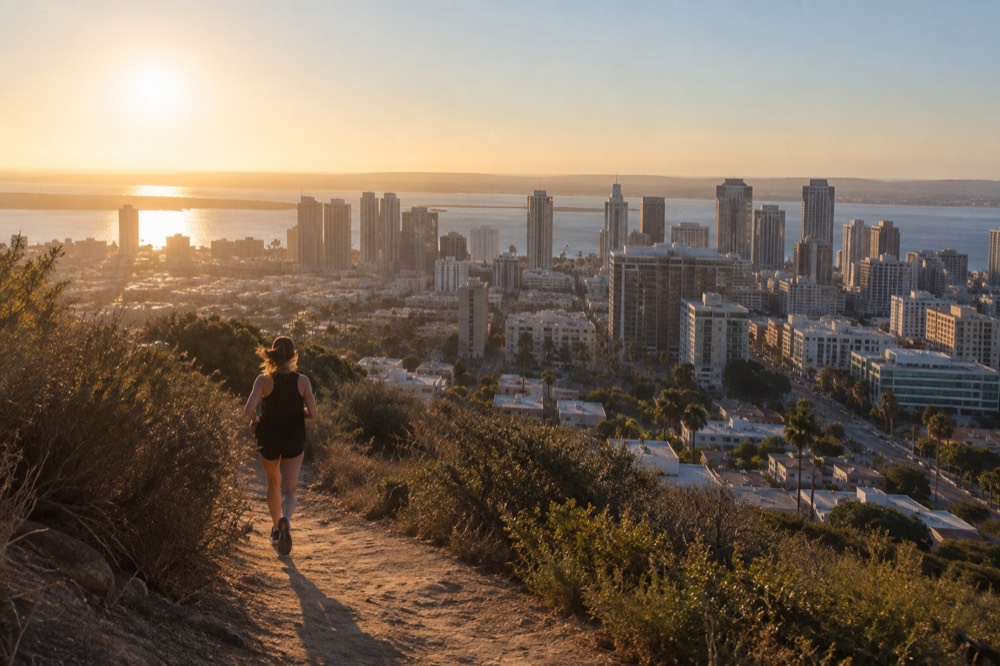
San Diego is mostly a low, coastal city, which is exactly why Mount Soledad works so well. The hill stands above La Jolla at the northern edge of the city, and from the summit platform you turn in a slow circle and take in everything at once: the ocean, the coastline curving south toward downtown, Mission Bay, and on the clearest winter days, the mountains of Mexico to the south and the snow-capped peaks of the local ranges to the east. Very few free viewpoints anywhere in California hand you this much.
The site is a veterans memorial at its core, and visitors should treat it that way: it is a place of reflection that happens to have a spectacular view, not a viewpoint that happens to have a memorial. There is no admission charge, no ticket, and no reservation. You drive or walk up, you look, and you leave when you are ready. That simplicity is most of its charm, and it is also why this guide spends more time on timing and logistics than on the summit itself, because timing is what separates a good visit from a flat, hazy one.
What Exactly Is Mount Soledad?
Mount Soledad is a hill in La Jolla topped by a veterans memorial, with an open viewing area that delivers a complete all-direction panorama of San Diego, the ocean, and the coastline. There is no entrance fee, no ticket booth, and no set visiting schedule beyond the site's posted hours. Most people come for the view and stay under an hour, which makes it one of the easiest high-value stops in the city to fit into any itinerary.
The hill anchors the eastern side of La Jolla, the neighborhood that holds most of San Diego's famous coastline, from the Cove to the Shores beach. If you are basing yourself in the area, our La Jolla neighborhood guide covers where to stay and how the district fits together, and the summit pairs naturally with a morning at La Jolla Cove, which sits only a few minutes' drive downhill.
The memorial itself is the reason the site exists. It is dedicated to veterans, with plaques and displays arranged around the summit, and the city's own history with the site has been long and publicly contested, particularly around the large cross that stands there. You do not need to wade into that history to visit respectfully: the ground is treated as a memorial, and the visitors who enjoy it most are the ones who keep that in mind while still taking in the extraordinary setting.
What surprises many first-time visitors is how much of the city resolves from up there. Downtown's towers, the curve of Mission Bay, the flat mesa of Mira Mesa, the ocean horizon, and the dark green band of Torrey Pines all sit in one sweep. On a clear morning after a winter rain, the visibility is at its absolute peak, and the view can stretch a remarkable distance in every direction.
How Do You Get to the Top of Mount Soledad?
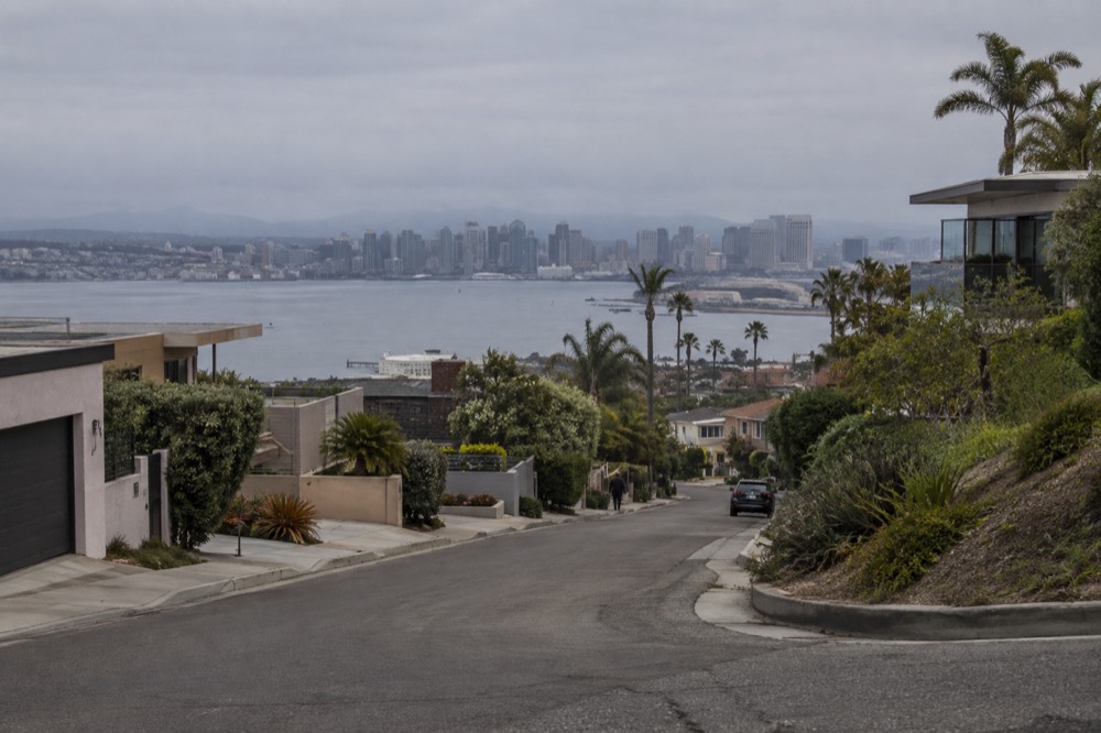
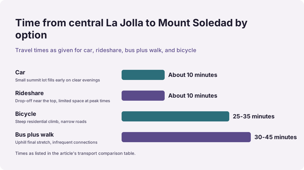
Driving is the practical way up: the summit is reached by a short, winding residential road from La Jolla, and parking at the top is free but limited, so arrive early or be ready to wait a few minutes in peak sunset season. There is no Trolley station anywhere near the hill, so transit visitors need a bus connection plus a walk, or a short rideshare from central La Jolla. Allow about 10 minutes of driving time from the Cove.
The road to the summit climbs through a quiet residential neighborhood, and this is where a little honesty helps: the residents deal with a steady stream of view-seekers, so drive slowly, do not block driveways, and treat the narrow stretches with patience. The pull of the viewpoint is strong at sunset, and on summer weekends the small parking area at the top can fill an hour before the light gets good. There is no published parking fee and no reservation system; it is simply first-come, first-served, and the honest advice is to build in a buffer rather than arrive at the exact minute you want the view.
If you are visiting San Diego without a car, the hill is reachable but not trivial. The MTS fare chart lists a one-way bus or Trolley fare of $2.50 with 2-hour transfers, and a day pass at $6.00, and the PRONTO system caps your spending automatically once your rides total the day-pass value, so there is no reason to buy a day pass up front. You would ride to La Jolla and then finish with a bus plus an uphill walk, or take a rideshare for the last stretch. The fare chart is published at the MTS fare chart, and fares are the one transit figure you can rely on across the city.
Here is how the options compare in practice:
| Option | Time from central La Jolla | Best for | Watch out for |
|---|---|---|---|
| Car | About 10 minutes | Sunset visits, families, anyone short on time | Small summit lot fills early on clear evenings |
| Rideshare | About 10 minutes | Car-free travelers | Drop-off near the top, limited space at peak times |
| Bus plus walk | 30-45 minutes | Budget travelers with time | Uphill final stretch, infrequent connections |
| Bicycle | 25-35 minutes | Fit riders | Steep residential climb, narrow roads |
For travelers who would rather not drive at all, a guided overview of the city is a sensible alternative: a city and beaches highlights tour covers the major districts in one loop, including the coastline the hill looks down on. The tour pages on this site carry full details, and if a hilltop stop matters to you, confirm the itinerary on the live listing before booking.
When Is the Best Time of Day to Visit?
The two best windows are sunset and mid-morning. Sunset delivers the classic experience, with the sun dropping into the Pacific and the city lights coming up behind you, but it also draws the biggest crowd. Mid-morning, after the overnight marine layer has burned back, often gives you the sharpest, clearest view of the whole panorama, with a fraction of the visitors. Avoid the middle of a gray June afternoon, when the coast can sit under cloud while inland stays blue.
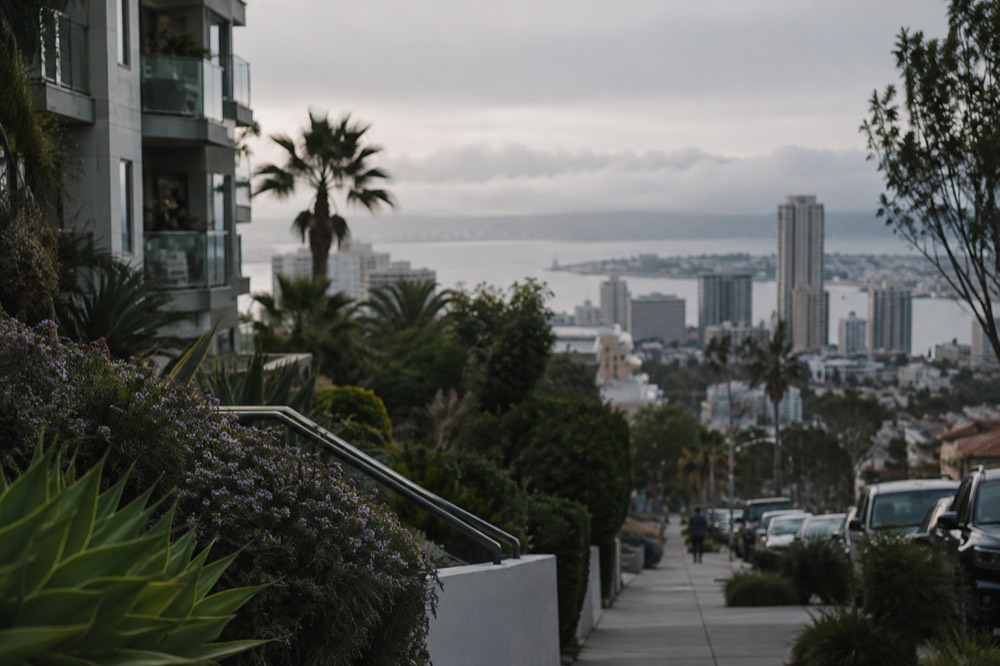
The single most common mistake visitors make with coastal San Diego is assuming relentless sunshine. The marine layer is the real seasonality story here, and locals know it by name: May Gray and June Gloom. You will not find an official cloud statistic for it, but the pattern is visible in the 30-year climate normals themselves. June's normal high at the airport is 71.7°F, which is lower than October's 74.6°F, a signature of grey coastal mornings in early summer. The layer usually sits lowest and longest at the beaches, and a hilltop like this one can sit right at the cloud edge, which cuts both ways: you may rise into brilliant sun above a grey deck, or you may stare at grey from inside it. The normals behind this pattern are published by NOAA's National Centers for Environmental Information.
The counterintuitive fact worth planning around: San Diego's real summer is September, not July. September's normal high of 77.2°F sits 1.9°F above July's and just a tenth behind August's, and the ocean is warmer in September than in July, yet September is the single lowest visitation month at Cabrillo National Monument across 2022-24, with 56,876 recreation visits against July's 83,999. The crowds go home right as the weather peaks, and the same logic applies to every open-air viewpoint in the city, this one included. A clear September weekday evening up here can feel almost private.
Sunset timing deserves its own note. The sun sets over the ocean year round from this vantage, and the light show runs in three acts: the golden hour before, the minute of the drop, and the afterglow when the sky to the east turns pink over the city. People who leave the moment the sun touches the horizon miss the third act, which is often the best one. Stay 20 minutes past sunset and you will also watch the city lights come up across the whole panorama.
If the summit view hooks you on San Diego sunsets, the water is the natural next step. A small-group sunset sailing excursion runs three hours on the bay, and it pairs neatly with an afternoon on the hill: drive up for the golden hour, then head down to the harbor for the sail. Check availability on the live listing, since departure times shift with the season.
One practical note for anyone planning the hill-then-harbor evening: the sail is a small-group trip, so seats are genuinely limited on the best sunset dates, and the operator's listing shows the current departure windows. Booking the sail first and then working backward to your hill arrival time is the smarter order, because the hill is flexible and the boat is not.
What Can You Actually See from the Summit?
On a clear day the summit gives you the full circle: the Pacific horizon to the west, the La Jolla coastline curving south, Mission Bay and Point Loma, downtown San Diego's skyline, the mesas and mountains to the east, and, on the clearest winter days, the hills of Mexico to the south. Visibility is best in fall and winter and after rain, and worst during a thick marine layer morning in early summer.
The panorama reads like a map of the city's geography. To the west and north lies the ocean and the long white line of La Jolla's beaches, with the green shoulder of Torrey Pines beyond. South, the coastline sweeps toward Pacific Beach and Mission Bay, then the peninsula of Point Loma. East, the flat mesas roll inland toward the mountains. And south-southeast, on the sharpest days, the terrain of northern Baja sits on the horizon.
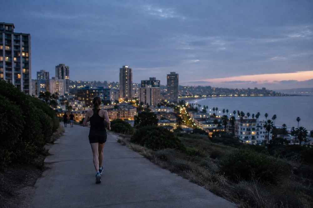
Here is the orientation, direction by direction:
| Direction | What you see | Best conditions |
|---|---|---|
| West | Open Pacific, La Jolla coastline | Clear fall and winter evenings |
| South | Pacific Beach, Mission Bay, Point Loma, downtown skyline | Mid-morning after marine layer clears |
| East | Inland mesas and distant mountain ranges | After rain, winter |
| North | Torrey Pines reserve and coastal bluffs | Any clear day |
| Far south | Hills of northern Mexico on the horizon | Only on the clearest winter days |
The view also works as a planning tool. From up here you can see exactly how the pieces of coastal San Diego connect, which is genuinely useful if you are still shaping your itinerary. Our three-day San Diego itinerary sequences the coastline you are looking at, and if sunsets become your theme, the best sunset spots in San Diego guide covers the full range of options, from hilltops like this one to ocean-front cliffs at Sunset Cliffs Natural Park.
One caution for photographers: the summit is a memorial, and drone flight and commercial shoots are not appropriate there. Handheld photos and phone panoramas are fine and are what nearly everyone takes. The best light for the coastal panorama is late afternoon from the west-facing side, and the best light for the skyline is the blue hour just after sunset, when the buildings are lit but the sky still holds color.
Is Mount Soledad Good for Sunset Specifically?
Yes, it is one of the best sunset viewpoints in San Diego, because it is the rare spot where you watch the sun set over the ocean and the city light up behind you at the same time. Arrive 45 to 60 minutes before the posted sunset time in summer, earlier on weekends, and dress warmer than you think you need: the hilltop wind drops the temperature noticeably.
The dual-facing aspect is what sets it apart. Beaches and cliff parks give you the ocean only; a downtown rooftop gives you the skyline only. From this summit you get both halves of the show in one slow turn, and the elevation buys you a longer visible sunset, since the sun drops below the horizon line slightly later from height than it does from the sand. Photographers who chase the afterglow appreciate that extra minute.
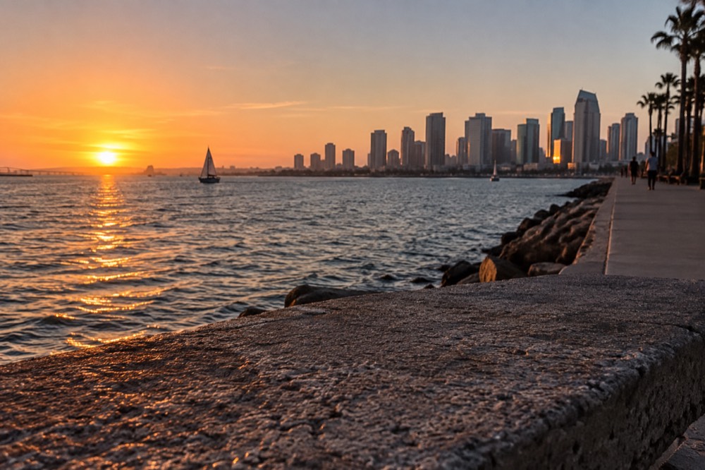
The monthly rhythm of sunset quality follows the climate normals. August and September are the warm, near-rainless months, with August's normal precipitation at a hundredth of an inch and zero days of measurable rain, so those evenings are the most reliable for a clear drop. December through March carry the bulk of the year's rain, 7.3 inches across the four months, but the clear days between storms are the ones with the longest visibility of the year. The trade-off is simple: summer gives you dependable color, winter gives you spectacular clarity when it cooperates.
If you would rather be on the water than above it, the bay has two good options. The harbor cruise runs a relaxed one-hour loop past the ships and skyline, and it is the easy, family-friendly choice. The sunset sailing excursion is the more immersive one, three hours on a small boat with the light changing over the whole bay. Both leave from the Embarcadero, about 15 minutes' drive from the base of the hill, so a hill-then-harbor evening is entirely doable.
How Long Should You Spend, and Is It Worth the Walk Up?
Most visits last 30 minutes to an hour, which is enough for the full panorama, the memorial, and photos. Walking up from La Jolla is a serious climb on residential streets, steep enough that most people drive or ride-share; the walk is only worth it for fit travelers who want the exercise, and even then budget 45 minutes to an hour each way, plus water.
The summit area itself is compact. You can walk the full viewing circle in ten unhurried minutes, read the memorial plaques in another ten, and settle into a spot for sunset with time to spare. There are no food vendors, no visitor center in the usual sense, and no shade to speak of, so whatever you need for an hour on an exposed hilltop, you carry up with you: water, a layer for the wind, and sunscreen on bright days.
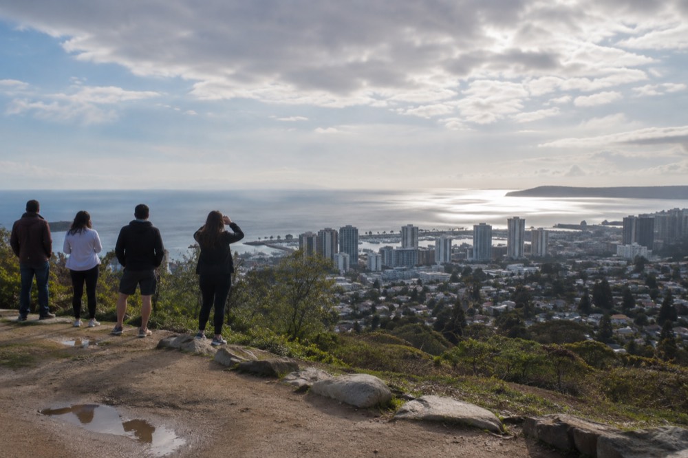
For walkers, the honest description is this: the roads up are paved, safe, and genuinely steep, climbing through a quiet neighborhood, and the reward at the top is the same view the drivers get. If you are already walking La Jolla's coast, the sensible compromise is to walk the flat coastline and save the hill for a short drive, because the climb adds nothing to the panorama. Fit cyclists are the exception; the ascent is a well-known local training climb, and coming down is a fast, careful descent on narrow streets.
Families should know the site is stroller-friendly at the top but not on the walk up, and the open edges mean toddlers need close supervision. There is no play structure and nothing to buy, so the visit is entirely about the view and the memorial. Pair it with something hands-on for kids later in the day; the coastline below offers plenty, from the Cove's sea lions to the beaches of Pacific Beach.
What Should You Know Before You Go?
Bring a wind layer, arrive before the crowd for sunset, expect no facilities beyond the basics, and treat the site as a memorial. The visit is free, the parking is free and limited, and the single biggest factor in what you see is the marine layer, so check the sky over the coast before you commit to a sunset plan.
A few practical notes in one place:
| Question | The honest answer |
|---|---|
| Is there an entrance fee? | No, the site is free to visit |
| Is there parking? | A small free lot at the top, first-come first-served |
| Are there restrooms or food? | Plan for none; eat before or after in La Jolla |
| Is it accessible? | The summit viewing area is reachable by vehicle |
| Best season | September for warmth and thin crowds; winter for clarity |
| Worst time | A grey early-summer afternoon inside the marine layer |
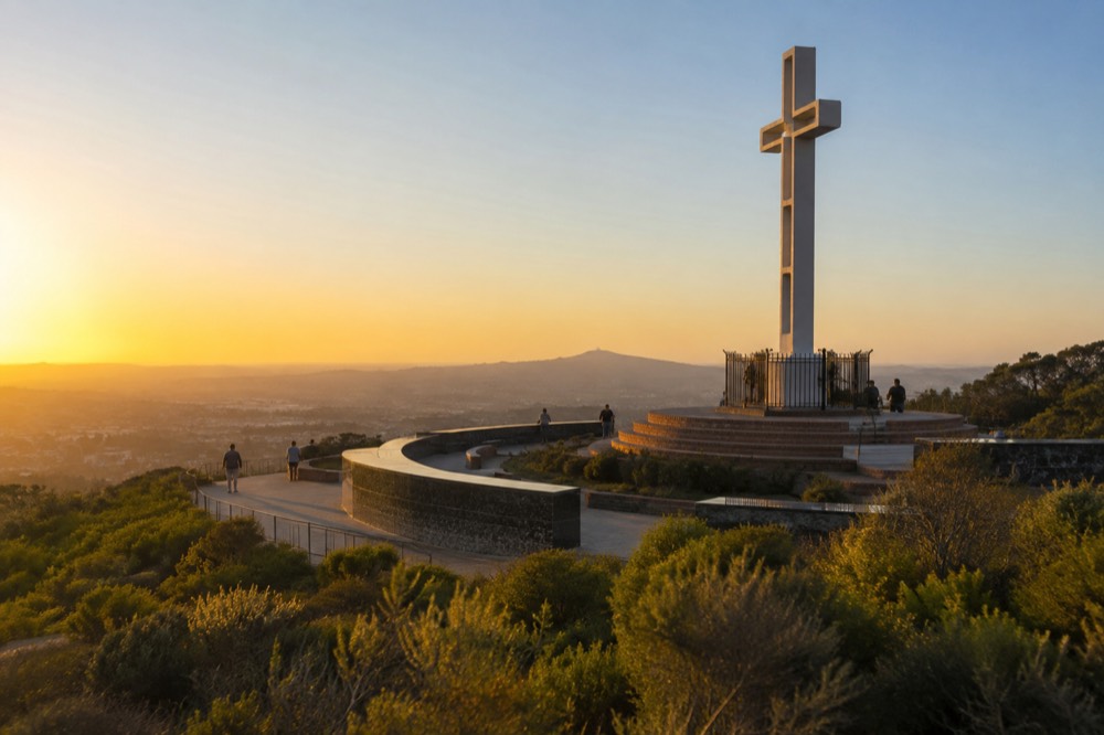
The wind is the detail that catches people out. Evenings on an exposed hilltop above the coast run noticeably cooler than the beach below it, and summer visitors in shorts and t-shirts regularly retreat to their cars mid-sunset. A jacket or a blanket fixes it, and the afterglow, the best part of the show, is exactly when the wind chill bites hardest.
Timing against the crowd is the other skill. The summit fills in the hour before a good sunset and empties fast after the sun drops, so the visitors who stay 20 extra minutes get the place nearly to themselves for the blue hour. On the flip side, if you want the panorama with nobody in it, come at 9 or 10 in the morning on a weekday, after the layer has cleared and before the tour traffic builds.
Finally, fold the hill into a bigger day rather than making it a standalone trip. It sits minutes from everything La Jolla offers, so the classic sequence is a morning at the Cove, an afternoon in the village, and a final drive up here for the sunset. If you are touring rather than driving, the city and beaches guided highlights tour covers the coastal districts in one five-and-a-half-hour loop, and the one-day San Diego itinerary shows how a viewpoint stop fits into a single packed day. For everything else across the city, start with Things to Do in San Diego and work outward from there.
Common Questions About Mount Soledad
Is Mount Soledad free to visit?
Yes. There is no entrance fee, no ticket, and no reservation system. The only cost is getting there, and the small parking area at the top is free as well, though it fills early on clear sunset evenings.
How do I get to Mount Soledad without a car?
Take an MTS bus toward La Jolla, then finish with a connecting bus plus an uphill walk, or use a rideshare for the last stretch. The one-way fare is $2.50 and PRONTO caps your spending at the day-pass value automatically. There is no Trolley station near the hill.
When is the best time to visit Mount Soledad?
Sunset for the classic experience, or mid-morning after the marine layer clears for the sharpest, emptiest view. September combines the warmest evenings of the year with the thinnest crowds; avoid grey early-summer afternoons when the coast sits under cloud.
How long should I spend at Mount Soledad?
Plan on 30 minutes to an hour. The full viewing circle takes about ten minutes, and if you stay for sunset, the best light comes 20 minutes after the sun drops, so do not leave at the horizon moment.
Can you see Mexico from Mount Soledad?
On the clearest days, yes, the hills of northern Baja sit on the southern horizon. Your best odds are in fall and winter, especially the day after rain, when visibility across the whole region is at its peak.
Is Mount Soledad good for kids and families?
The summit is stroller-friendly and the view holds kids' attention, but there is no shade, no food, and open edges, so bring water and supervise toddlers closely. Pair it with a beach or the Cove sea lions later in the day.